Local History & Genealogy
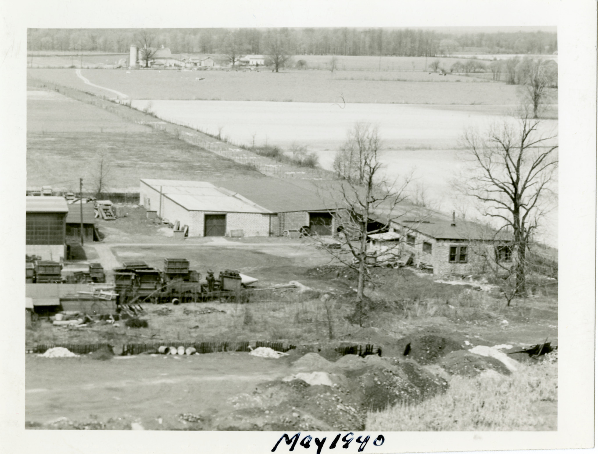
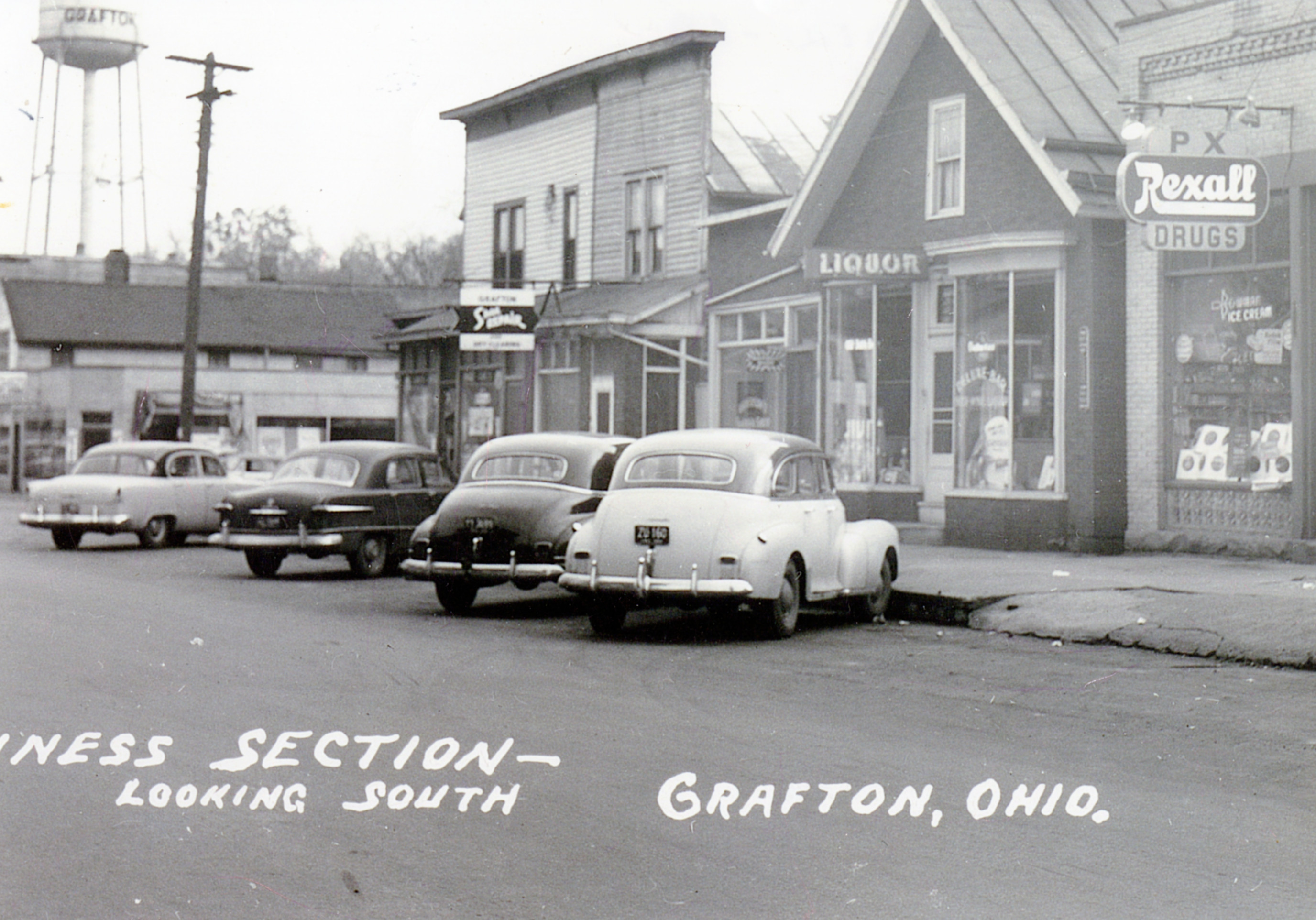
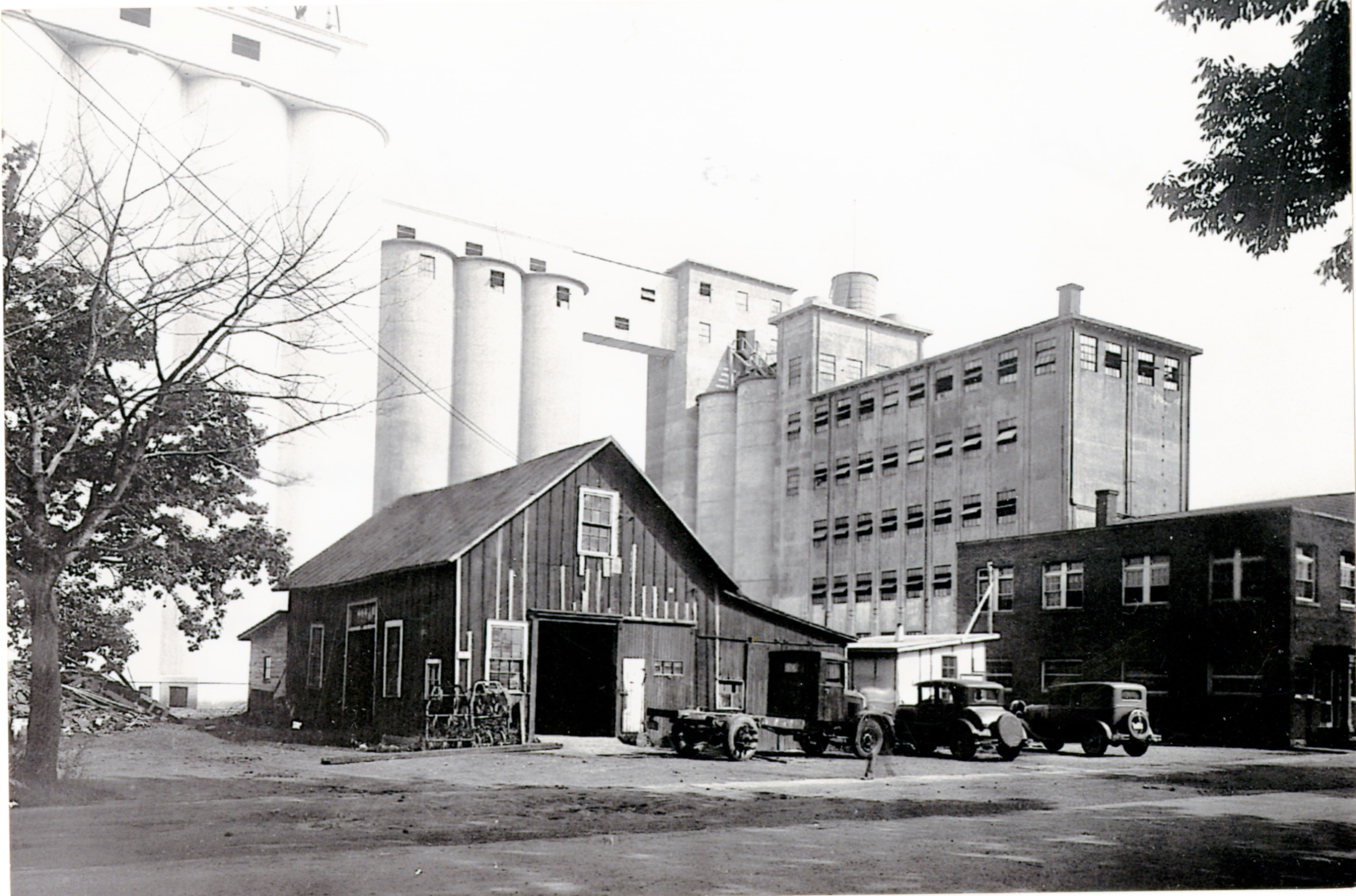
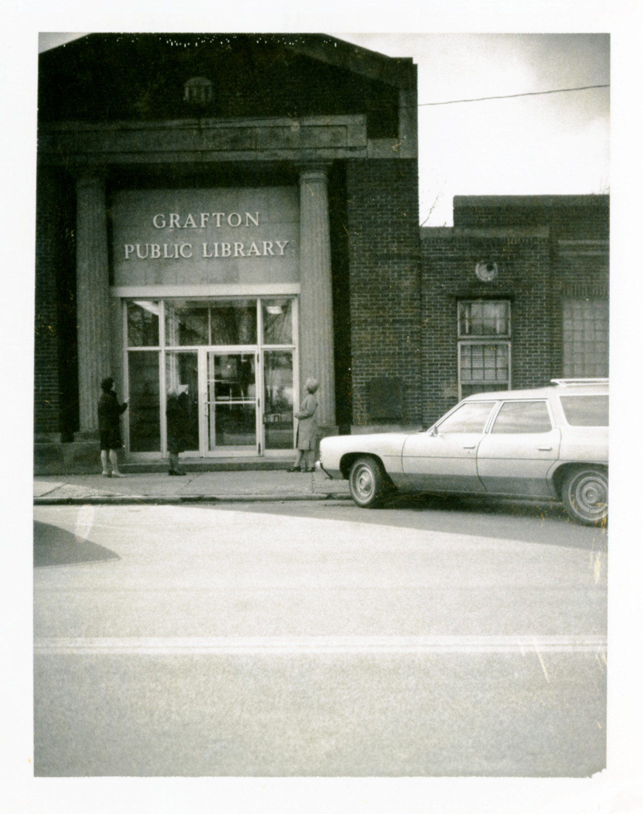
Collecting, preserving, and sharing historical resources for the community is an important mission of the Grafton-Midview Public Library. These include photos, documents, and other local history resources as well as databases covering a much wider scope. Explore the links below to access the local history and genealogy content available from the Library.

Grafton Area Local History Collection
The Grafton-Midview Public Library collects historical images, documents, and materials related to our local community. GMPL also has a physical collection of materials on the second floor of the library building in the Doris Wildenheim Local History Room, accessible when the library is open. GMPL uses Biblioboard to house and share our historical collection online, accessible with no login required.
Postcards from Grafton Podcast
We're exploring the most fascinating people and places in our community and everything in between with our podcast: Postcards from Grafton. Available via in most podcast apps and online, we have a episodes featuring the Old Grafton School, chatting with local author Renee Durkee Atkinson, a Civil War era murder, Carlisle Township, growing up in Grafton, and more. We want to hear from you! If you have an idea for an episode or question you'd like us to explore, email us at postcardsfromgrafton@gmail.com.
Ancestry Library Edition (In-Library Use Only) - Provides access to billions of historical documents, millions of historical photos, plus local narratives, oral histories, indexes and other resources in over 30,000 databases that span from the 1500s to the 2000s.
Fold3 - Fold3 provides convenient access to military records, including the stories, photos, and personal documents of the men and women who served.
HeritageQuest - Discover your family history today through billions of records including the U.S. Census records, City Directories, Agricultural and Industrial Schedules, and U.S. Indian Census Rolls.
Sanborn Fire Insurance Maps - Sanborn maps are detailed maps of U.S. cities and towns in the 19th and 20th centuries. The maps were created to allow fire insurance companies to assess their total liability in urbanized areas of the United States
